Portfolio Category: RPS

Bar Z Tentative Parcel Map

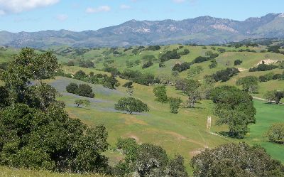
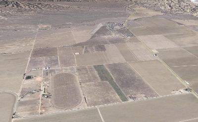
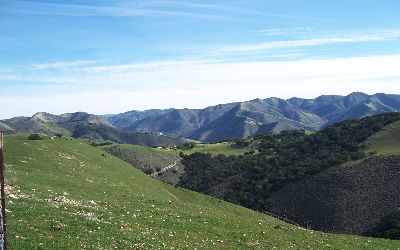
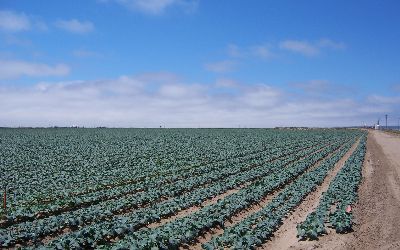
Bar Z Tentative Parcel Map was a two way lot split for estate planning purposes on 610 acres creating two 305 acre parcels near Los Olivos on the Santa Ynez Valley. The County maintains strong protective measures for agricultural viability.

Read more

Duncan Farms Agricultural Expansion

Duncan Family Farms of Goodyear, AZ, retained RPS to help convert a 678 acre prior horse training facility into an organic farming operation. RPS evaluated the property and determined most of the parcels were not legal as well as most of the structures present.

Read more

Tespusquet BLM Hiatus

RPS was retained by landowners in the Tepusquet area to help in resolving boundary discrepancies between their properties and federal lands managed by the Bureau of Land Management (BLM). The landowners had tried for over 40 years to regain a total of 380 acres deemed federal lands due to surveying errors with no success.

Read more

Grubstake Lot Line Adjustment

Grubstake Lot Line Adjustment. LLA of an adjustment of two parcels totaling over 465 acres to be roughly equal in size per a court order on agricultural row crop lands in the Santa Maria Valley. RPS assessed the agrilcutural viablity of the adjustment and negotiated with the county to declare the project exempt rom CEQA and received approval within 6 months of application submittal.

Read more